Map guide

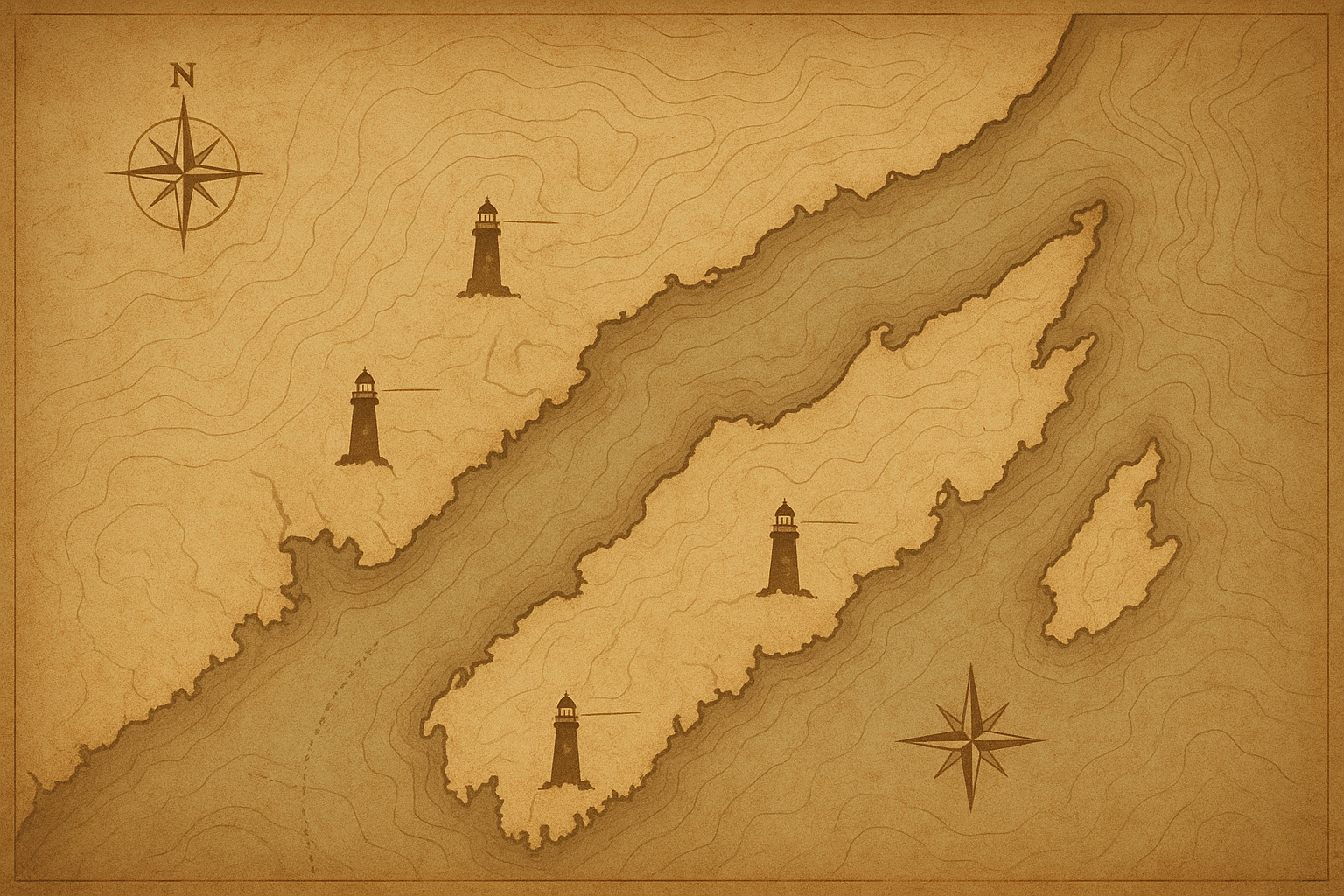
Preserved Towers Map

Enter the place-based reference layer of the archive, built for calm orientation along the northern coast.

This map gathers preserved lighthouse locations in one view, helping you connect each tower to its coastline setting and historical context before exploring deeper records.

Visit notes

Preserved towers remain working historical sites, shaped by weather, access limits, and local care agreements.

Use the notes below as orientation context rather than travel advice. Conditions may shift seasonally, and preservation arrangements can change with coastal maintenance work.

Preservation status

  • Some towers are externally viewable only; interior access depends on local custodianship and conservation schedules.
  • Masonry and lantern structures may be under phased repair, with temporary perimeter boundaries in place.
  • Interpretive plaques and archival captions are not uniform across sites; records vary by district archive support.

Coastal conditions & respectful context

  • Headland paths can become unstable in wind, rain, or spray; posted safety closures should be treated as active preservation controls.
  • Many approach routes cross working communities and sensitive habitats; remain on marked paths and avoid boundary structures.
  • Where oral histories are shared on-site, cite responsibly and distinguish local memory from verified archive chronology.

Continue with documented context in tower records and keeper accounts.